
Why go
The tower reveals the fort's overall geometry, which is difficult to grasp while walking inside the park.
Field Notes
The tower repeats the geometry it helps visitors see. Its observation platform is pentagonal and the shaft has a star-shaped cross-section, echoing the fort below. The present structure opened in 2006, succeeding a tower inaugurated in 1964. Its two viewing levels sit at about 86 and 90 metres, placing the fort’s pattern within the wider landscape of Hakodate and the straits.
There is also a detail to notice before or after the lift journey. Glass blocks in the lower exterior walls represent constellations visible from Hakodate. The operator connects these with fort designer Takeda Ayasaburo, a scholar of Western learning who produced a star chart for teaching navigation. This turns the building into more than a high viewing platform: the star-shaped structure refers to military design, while the constellation panels point to the scientific knowledge associated with the fort’s creation.
Planning Notes
Suggested time on site: 45–90 minutes. Keep travel and waiting time separate from that estimate.
Timing noted for this stop: Daytime; verify current operating hours before travel.
Access reference: Goryokaku-koen-mae tram stop. Check the final walking or connecting leg when choosing your route.
Location
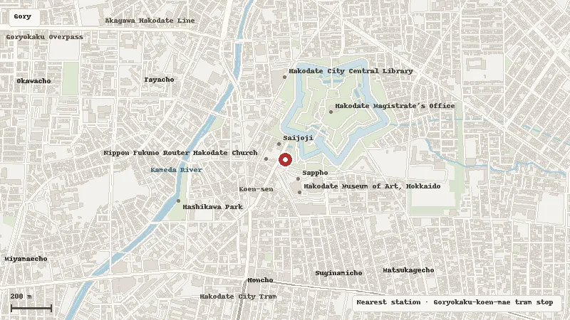
Map data © OpenStreetMap contributors