
Why go
The viewpoint makes Ishigaki’s geography easy to read at a glance. From the elevated platform, sea lies on both sides of the narrow northeastern landform, giving a stronger sense of the island’s shape than a single coastal overlook can provide.
Field Notes
Tamatorizaki Observation Platform is a geographic viewpoint on the northeastern side of Ishigaki Island rather than a monument with a long institutional history. Its value comes from elevation and position. From the hill, visitors can look across Ibaruma Bay, the reef-fringed Pacific coastline and the narrow northern part of the island toward the Hirakubo Peninsula. Mountain ridges rise behind the coastal strip, making the platform especially useful for understanding how settlement, road and reef are compressed between sea and interior high ground.
Ishigaki lies within the Yaeyama Islands far southwest of Okinawa’s main island. The subtropical climate supports dense vegetation, while surrounding coral reefs create shallow zones whose colors contrast with deeper offshore water. Tamatorizaki brings those elements into one panorama. On a clear day, changes in water depth and reef structure are visible from above, but cloud, haze and wind can alter the view quickly. A photograph taken in ideal weather should therefore be treated as an example rather than as a guaranteed condition.
The approach is landscaped rather than left as an exposed roadside pullout. A short paved path leads uphill through tropical planting to the covered observation structure. Hibiscus and other flowers are commonly associated with the route, but bloom intensity varies with season and maintenance. The covered platform gives some shelter, although the hill remains exposed to marine wind and fast-changing weather.
For an itinerary, Tamatorizaki is best used as a short interpretive stop within a longer drive through northern Ishigaki. The road continues toward villages, beaches and Hirakubo Cape, and the viewpoint offers an early overview of the terrain those later stops occupy. It does not require several hours by itself, but the combination of bay, reef, agricultural land and ridge makes it useful for reading the island’s physical structure. There is no reason to invent a rigid business-style opening schedule for an outdoor viewpoint without a current authority. Visit in daylight, use the current tourism or municipal guidance for access, and allow weather to determine how much of the distant coastline is actually visible.
New Ishigaki Airport is the nearest major transport reference, but most visitors still need a road transfer, so the viewpoint fits most naturally into a driving or guided north-island route.
Planning Notes
Suggested time on site: 45–120 minutes. Keep travel and waiting time separate from that estimate.
Access reference: New Ishigaki Airport; about 20–25 minutes by car. Check the final walking or connecting leg when choosing your route.
Location
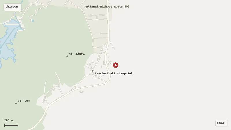
Map data © OpenStreetMap contributors