
Why go
The cape's shape makes the landscape the main subject: the walk narrows between open water on both sides before reaching the lighthouse area. It is a straightforward place to experience Miyakojima's exposed coastal geography without needing a beach or resort setting.
Field Notes
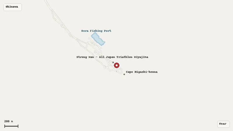
Cape Higashi-Hennazaki forms the long eastern tip of Miyako Island, projecting as a narrow limestone headland into open sea. The landscape is low rather than mountainous, yet the cape feels dramatic because water lies on both sides and the horizon is largely unobstructed. A white lighthouse stands near the far end, while grass and coastal plants cover most of the exposed ground.
The underlying geology is characteristic of Miyako. Uplifted Ryukyu limestone forms much of the island, and wave erosion has shaped cliffs, rough rock shelves and offshore formations along the headland. The narrow shape leaves the cape exposed to persistent wind and salt. Trees are limited on the most open sections, while hardy grasses and coastal plants dominate. Spring flowers add seasonal color, but the more permanent feature is the way vegetation reflects the harsh maritime environment.
A paved route leads toward the lighthouse, making the main viewpoint accessible without a rugged hike. The lighthouse itself is an operating navigation facility with its own visitor rules and schedule, so it should be treated separately from the outdoor promenade. Weather can change the experience quickly. Strong wind, rain or an approaching storm can make the open final section uncomfortable or unsafe even when the road remains technically accessible.
The headland is most useful for reading Miyako’s geography. Looking back along the narrow spine reveals how little elevation is needed to create striking coastal scenery when limestone, reef and open ocean meet. Looking down toward the edges shows the continuing action of waves against porous rock. On clear days the absence of tall development gives the horizon unusual scale.
Miyako Airport is the main transport reference, but the cape normally requires a road transfer. A short visit can focus on the promenade and views, while extra time is needed if the lighthouse is open and part of the plan. Use the lighthouse schedule only for the lighthouse itself; the broader cape is an outdoor landscape. The value of Higashi-Hennazaki lies in exposed geology, maritime orientation and the transition from low grassland to open ocean rather than in a long list of built attractions.
Planning Notes
Suggested time on site: 45–120 minutes. Keep travel and waiting time separate from that estimate.
Access reference: Miyako Airport; about 30–40 minutes by car. Check the final walking or connecting leg when choosing your route.
Location
Map data © OpenStreetMap contributors