
Why go
This is one of the clearest places to grasp the scale of Lake Kussharo and its surrounding volcanic basin from above. The pass is most useful as a scenic road stop, especially when a route already connects Bihoro, Teshikaga or the wider Akan-Mashu region.
Field Notes
Bihoro Pass gives a broad introduction to the landscape around Lake Kussharo. The viewpoint stands about 525 metres above sea level on Route 243 between Bihoro and Teshikaga, looking across the lake and its central island, Nakajima. In clear weather, more distant mountains extend the panorama beyond the water. Begin by identifying the lake, island and enclosing high ground rather than trying to recognise every summit at once. The attraction is the way these features fit together across a large space, making the pass a useful orientation stop for a journey through eastern Hokkaido.
The scenery is volcanic in origin. Lake Kussharo occupies a caldera formed through repeated eruptions, and geothermal activity continues around parts of its shores. From above, the lake is one component of a much larger basin, a relationship that is less obvious when standing at water level. Other rim viewpoints, including Tsubetsu Pass and Mount Mokoto, offer different angles on the same landform. Comparing them conceptually helps explain Bihoro's particular view, even if this is the only one you visit. A stop here can therefore serve as an introduction to the area's geology as well as a scenic break.
Clouds sometimes transform that readable geography into an entirely different scene. The national tourism interpretation explains several processes behind the local sea of clouds, including overnight cooling and fog collecting in the basin, as well as winter vapour meeting cold air above the lake. Such conditions depend on weather, so an early arrival is an opportunity rather than a guarantee. If the water is hidden, look for the way ridges emerge from the cloud layer. If it is clear, the island and shorelines provide the more informative view.
The pass also has a history as a place people remember through popular culture and souvenirs. A monument recalls the song associated with singer Misora Hibari, while Bihoro Museum has sought Showa-era keepsakes sold at the pass, including pennants, lanterns and keyrings. Its appeal for Kusshi-related records documents another strand of local tourism imagery. These objects are evidence of visitor culture, without establishing the reality of a lake creature. Together with the roadside station's local food offerings, they add a human scale to the panorama and show how a mountain viewpoint became a recognisable destination in its own right.
Planning Notes
Suggested time on site: 45–120 minutes. Keep travel and waiting time separate from that estimate.
Access reference: JR Mashu or JR Bihoro Station; road/bus/car access to Bihoro Pass. Check the final walking or connecting leg when choosing your route.
The town lists spring and autumn, before dawn through early morning, high humidity, low temperatures and calm air as favorable cloud-sea conditions. This is a conditional natural phenomenon, not a visibility forecast or access guarantee. Roadside-station service hours are separate.
Location
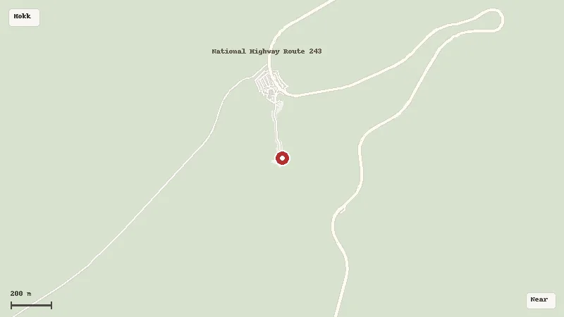
Map data © OpenStreetMap contributors